
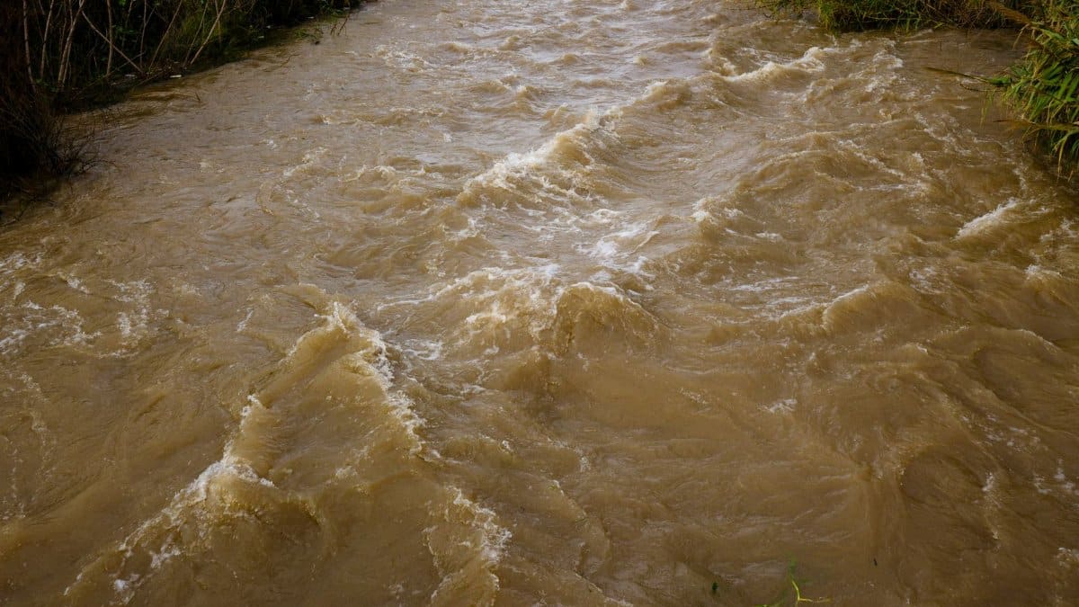
Rain has a way of rewriting a Dallas afternoon. A creek that looked tame at breakfast can lean hard against a culvert by supper, and the people who live along those banks learn the timetable by heart. This season the City Council put money behind that memory, approving Dallas flood study funding so engineers can look again at creeks, culverts, and tunnels before the next hard storm arrives. The package is five million dollars, aimed at flood and erosion studies rather than a single construction bid. For a city stitched together by old channels and newer pavement, that choice is less a headline than a wager on better maps.
A vote that puts water back on the calendar

Council sessions in Dallas often move through zoning cases, bond talk, and the ordinary friction of a large city. Flood work can vanish inside that stack until a wet month makes it impossible to ignore. The five million dollar approval pulls creek study out of the waiting room and gives staff a defined task. It does not, by itself, raise a levee or replace a pipe. It pays for the looking that those later choices require.
Readers who follow City Hall will recognize the pattern. A study is slower than a photo of a flooded street and easier to postpone. It is also the document that tells a future council where the risk actually sits. Without it, money tends to chase the loudest complaint rather than the weakest reach of channel. The vote is a bet that measurement still matters.
What five million dollars is meant to buy

The allocation is for studies of flooding and erosion, not a promise that every troubled bank will be rebuilt this year. Engineers use that kind of funding to survey channels, model how water moves when the ground is already saturated, and test whether a culvert or a tunnel is doing the job it was given decades ago. They look at sediment, at trees that have rooted into slopes, and at places where a yard has quietly lost several feet of soil.
In plain terms, the city is paying to understand failure before it pays to fix it. That sequence frustrates neighbors who have already hauled wet carpet to the curb. It is still the sequence that keeps a repair from washing out in the next spring. A study that names the right reach of creek can spare the city a beautiful project in the wrong place.
From Coombs Creek to White Rock Creek
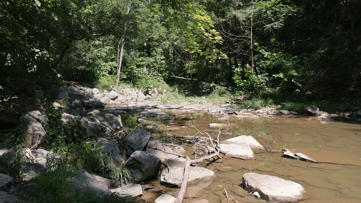
The geographic span in the council action runs from Coombs Creek to White Rock Creek, a line that crosses very different neighborhoods and very different kinds of water. Coombs Creek threads through older blocks in Oak Cliff, where lots are tight and the channel is close to porches, fences, and streets that were never designed for today’s roof area. White Rock Creek drains a broader basin toward the lake that many Dallas residents treat as a park first and a floodplain second.
Between those names sit culverts that duck under roads, short tunnels that carry storm water out of sight, and banks that slump after a single intense hour of rain. Treating them as one funding story is honest. The water does not stop at a council district line. A blockage upstream becomes someone else’s basement downstream. A study that follows the creek rather than the political map is the only kind that matches the physics.
Why the same creeks keep returning to the agenda

Dallas has argued with its water for as long as it has paved over prairie. The Trinity River is the famous argument. The smaller creeks are the daily one. They flood faster, they erode in private yards, and they rarely draw the cameras that a river does. Climate scientists and local emergency managers have spent years saying that intense rainfall is arriving in shorter bursts. A city built for an older pattern of storms feels that change first in the ditches.
Pavement compounds the problem. Every new roof, parking lot, and widened street sends water downhill faster than grass once did. The creeks did not grow new capacity to match. When council members fund another round of study, they are admitting that yesterday’s assumptions about a two hour rain no longer describe a Tuesday in May. That admission is overdue, and it is also the start of adult budgeting.
Culverts, tunnels, and the plumbing nobody photographs

Most residents meet the drainage system only when it fails. A culvert is a engineered throat under a road. A storm tunnel is a longer throat, sometimes deep enough that maintenance crews treat it as a workplace rather than a ditch. Both can clog with debris, both can be undersized for the basin they now serve, and both can scour the soil at their outlets until the road above them loses support.
Dallas flood study funding, used well, pays people to crawl that hidden inventory with instruments instead of guesses. Flow models can show whether a bottleneck is a single pipe or a chain of small constraints. Erosion surveys can show whether the real danger is water in a living room or a slope that will take a sidewalk with it. Those are different projects. Mixing them up wastes the five million dollars before a shovel ever moves.
Erosion as the slow emergency
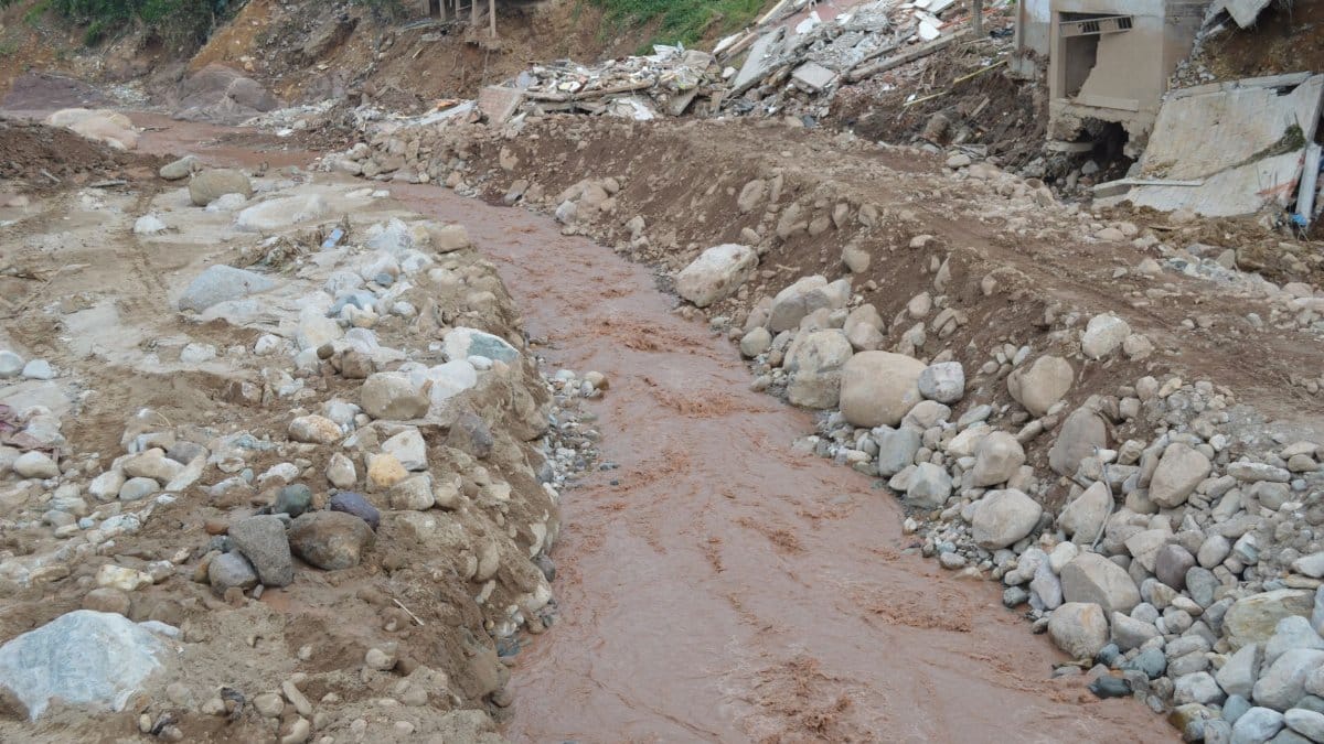
Flooding is dramatic. Erosion is patient. A bank can lose inches a season until a fence line that once sat on flat ground hangs over air. Trees tip. Utility poles lean. A trail that parks departments maintain for walkers becomes a scar. Because no one calls 911 for a missing foot of soil, erosion studies are easy to treat as landscaping. They are not. A failed bank can dump sediment into a culvert and turn a manageable rain into a plugged one.
The council’s decision to pair flood study with erosion study is the intellectually serious part of the vote. Water volume and soil loss are one system. Fix the pipe and ignore the bank, and the pipe fills with the bank. Armor the bank and ignore the volume, and the water finds a new weak point two blocks away. Residents along Coombs Creek have watched both versions of that mistake. White Rock Creek has its own album of slumped trails and surprised property lines.
How a study becomes a project, or does not

Money for analysis has a life cycle that rarely fits a news cycle. Staff scope the work, procure consultants or assign city engineers, gather survey data, and return with options that carry price tags much larger than five million dollars. Those options then compete with police hiring, street repair, and every other claim on the general fund or a future bond program. A good study can die in that competition. A bad one can survive because it flatters a preferred project.
The public’s leverage sits in the gap between the vote and the binder. Briefings should say which reaches will be modeled first, what rainfall assumptions will be used, and when neighbors can see draft maps. The Dallas Morning News has covered the council action in its local government reporting, and readers can follow that coverage at the paper’s site. City departments post storm water materials through Dallas City Hall as projects move from study to design. Neither trail of documents replaces a resident who knows which bend floods first.
The people who already keep a go bag by the door

Policy language talks about recurrence intervals. Kitchen language talks about the night the water crossed the threshold and the week spent arguing with an insurer. Along these creeks, both languages are in use. Older homeowners remember floods that city maps once called rare. Newer buyers sometimes learn the history from a neighbor after closing, which is a poor time to learn it.
A humane reading of Dallas flood study funding starts there, not in a rendering of a finished wall. Studies can change insurance conversations, buyout debates, and the honesty of seller disclosures. They can also sit on a shelf while the same families stack sandbags. The moral test of this appropriation is whether the people who live with the water are treated as witnesses, not as obstacles to a tidy engineering memo. Spiritual traditions in this city, from church basements that become shelters to congregations that organize creek cleanups, already practice that witness. City process should be at least as attentive.
What the studies cannot honestly promise

No survey stops the rain. No model repeals upstream development that has already been permitted. A five million dollar study program will not, this fiscal year, lift every house out of harm’s way from Coombs Creek to White Rock Creek. Anyone who sells the vote that way is writing a future disappointment. The honest promise is narrower and still worth making: the city will know more, in public, about where water and soil are failing, and it will have a ranked set of responses instead of a scramble after the next siren.
There is a second limit. Models inherit the rainfall record and the land use map they are given. If those inputs are stale, the output will be confident and wrong. Council members who voted for the studies should also ask what data year the consultants will treat as normal. Normal has been moving.
North Texas rain and a regional blind spot

Dallas does not flood alone. Suburbs upstream send water into the same creeks, and downstream cities inherit what Dallas cannot hold. Regional bodies and federal flood programs set rules that a single council vote cannot rewrite. That does not make the local studies trivial. It makes them the city’s contribution to a larger argument about who bears the cost of faster runoff.
Federal flood mapping, explained in general terms by the Federal Emergency Management Agency, remains the framework insurers and lenders use. Local studies can be sharper than those maps in a particular bend of creek, and they can also conflict with them. When they conflict, residents deserve a plain explanation, not a shrug between agencies. The five million dollars should buy that explanation along with the technical appendices.
Questions that belong in the next briefing

A serious follow up does not require cynicism. It requires a short list. Which segments from Coombs Creek to White Rock Creek are in the first work order, and which are deferred? Will erosion and flood capacity be scored together when staff ranks projects? How will the city handle private property where the bank failure is obvious but the right of way is narrow? What happens if the study recommends a buyout that a neighborhood does not want, or a wall that a parks constituency hates?
Those questions are political in the best sense. They force elected officials to say whose inconvenience counts. They also protect the engineers from being asked to smuggle a policy choice inside a hydraulic table. Dallas flood study funding works only if the policy choice stays visible.
Stewardship, not spectacle

There is a habit, in cities that love a skyline, of treating creeks as leftover space. They are not leftover. They are the drainage system, the habitat, the walking path, and, on the worst nights, the emergency route water will take whether or not anyone planned for it. Funding studies is a modest form of stewardship. It says the land is still owed attention after the ribbon cuttings are over.
Faith communities and neighborhood groups have often been faster at that attention than budgets have. They notice the fallen bank, the child who cannot cross a flooded low spot on the way to school, the older resident who will not leave a house that has flooded twice. The council vote does not replace that noticing. It gives noticing a technical ally, if staff keep the work public and specific.
After the binders come back
When the studies return, the city will face the expensive part. Design, easements, construction, and maintenance will dwarf five million dollars if the findings are acted on. Some recommendations will be small: a cleared culvert, a rebuilt outlet, a bank planted so it holds. Others will be large enough to need a bond election and a long argument. The virtue of doing the studies now is that the argument can be about real options rather than about rumors after a storm.
Residents should mark the calendar for those briefings and read them against their own memory of high water. Staff should be ready to say, in ordinary sentences, what changed since the last plan and what still cannot be fixed with the money on hand. Dallas flood study funding is not the end of the story from Coombs Creek to White Rock Creek. It is the decision to stop pretending the story is already known. Rain will test that decision. The council’s next budgets will test it too.