

Before the first hard rain reaches the Charles, people in kitchens from Worcester to Quincy are already staring at color bands that look almost too neat for a messy ocean storm. Those Massachusetts noreaster maps, refreshed through the night, put a broad shield of rain over eastern Massachusetts and push strong gusts toward the shore from Friday into Sunday. The picture is not abstract. It is a forecast of flooded underpasses, slick highways, and a coastline that may not drain as fast as the sky fills. For a state that measures fall by school calendars and ferry schedules, the maps have become the first public language of the storm.
What the weekend picture actually shows

The latest guidance from the National Weather Service places roughly 4 to 6 inches of rain on Boston, with locally higher amounts where bands stall. That range is large enough to matter in a city of old brick, tight drains, and rivers that already run high after a wet stretch. The same forecasts extend the rain shield across much of eastern and central Massachusetts, while western hills may see a somewhat lighter but still soaking total. Wind is the second headline. Gusts strong enough to take limbs off street trees are expected near the coast, especially if the center of low pressure tightens as it moves north of the region.
None of this is a promise carved in stone. A nor’easter is a dance between a coastal low, a feed of Atlantic moisture, and the steering flow aloft. Shift the low a county east and the heaviest rain may favor Cape Cod and the Islands. Shift it west and the Merrimack Valley takes a harder hit. That is why Massachusetts noreaster maps are updated so often, and why a single snapshot on Thursday night should not be treated as the final word on Sunday morning.
Rain bands and the cities that sit under them
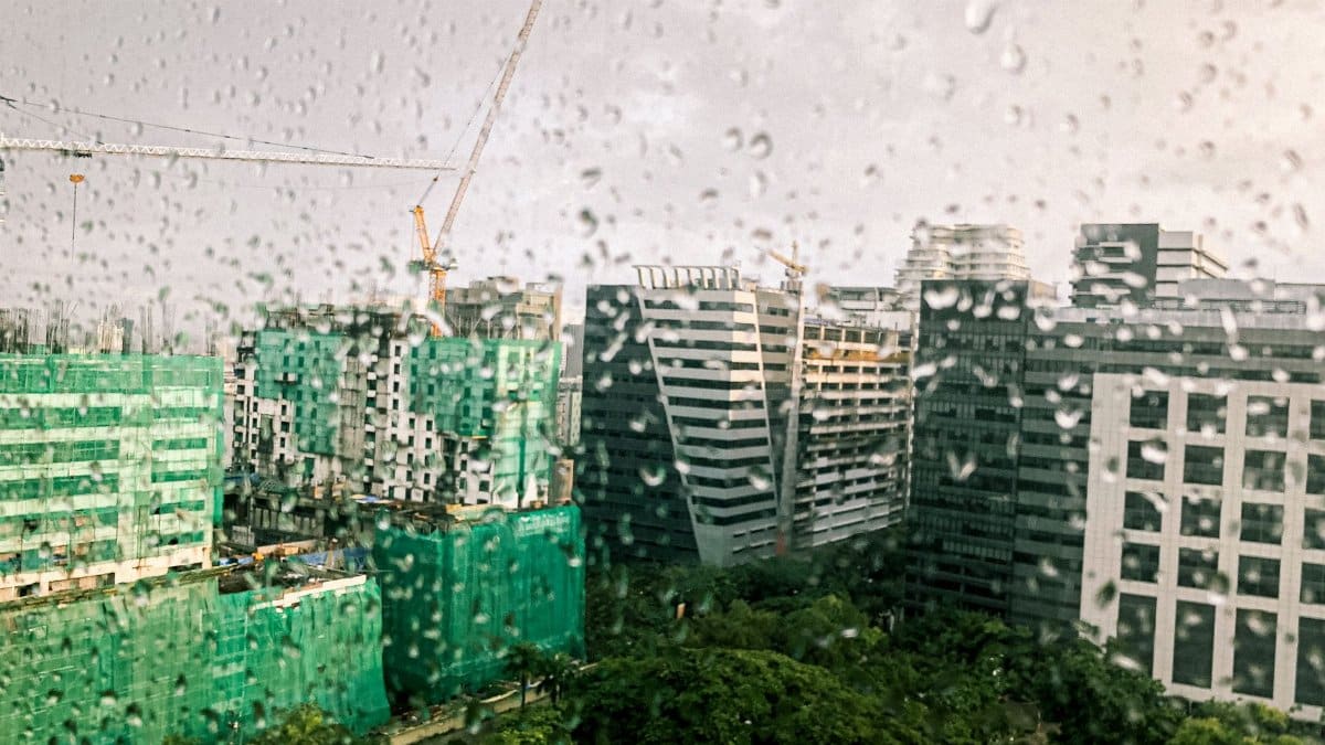
Boston is the number everyone quotes, but the storm will not treat every neighborhood the same. Persistent bands can drop an extra inch or two over a few miles while a nearby town stays closer to the lower end of the forecast. East Boston, parts of Dorchester, and low stretches along the Neponset have flooded in lesser rains when high tide and a downpour arrive together. Cambridge and Somerville, dense with pavement, send water quickly into storm drains that were never built for a multi inch event in a single weekend.
Inland, Worcester and the Blackstone Valley watch smaller streams that rise fast. The same maps that paint Boston in deep blue often show a gradient toward the Worcester Hills. Residents there should not assume safety because the headline number belongs to the capital. A soaked hillside road can close as surely as a downtown underpass. Forecasters will watch for training, the dull repetition of cells moving over the same towns for hours. Training is what turns a manageable rain into a flood story.
Wind along the shore and on the ridges

Rain gets the inches. Wind gets the outages. A nor’easter piles air against the coast and can produce gusts well above the sustained breeze that people feel in a city park. Exposed points from Nahant to Hull, and the outer arm of Cape Cod, are the usual candidates for the strongest blows. Ferry schedules, small craft, and beach parking lots are the first practical casualties. Even if the storm is not a classic winter beast with snow and blizzard criteria, September foliage and still leafy trees give the wind more to grab.
Power companies know this pattern. Limbs on lines, salt spray on equipment, and crews that cannot safely climb in peak gusts produce outages that last longer than the rain itself. Inland ridges, including parts of the Berkshires if the wind field expands, are not immune. A map of expected gusts is as useful as a rainfall map, and it should be read with the same skepticism about exact placement. The peak often arrives in a shorter window than the rain, which is why a calm Friday afternoon can still precede a rough Saturday night.
Coastal flooding when tide and surge meet
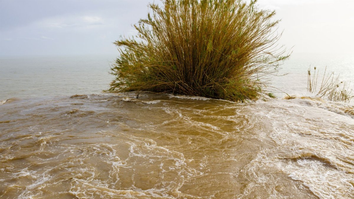
Flooding from the sky and flooding from the sea are different problems that can occupy the same hour. A nor’easter raises water along the shore through wind setup and a modest storm surge. If that rise coincides with a higher tide, streets in Scituate, Marshfield, and parts of the North Shore can take water even before the heaviest rain arrives. Boston Harbor has its own rhythm. Seawalls and newer barriers help, but they do not erase low streets, basement entries, and waterfront paths that were built for a calmer century.
Massachusetts noreaster maps that layer rainfall on top of tide predictions are the ones worth lingering over. A moderate rain at low tide is a nuisance. The same rain at a peak tide is a different event. People who live a block from a marsh should look at both layers, not only the pretty swirl of the low on a national graphic. Minor coastal flooding can still close a single access road and leave a neighborhood temporarily cut off.
How to read the colors without being misled

A forecast map is a model dressed for the public. The colors are ranges, not fences. When a county sits on the boundary between 3 inches and 5, the honest reading is uncertainty, not a promise of the lower number. Ensemble products, which many television meteorologists now show in simplified form, display a spread of possible outcomes. A tight cluster means higher . A wide fan means the storm track is still wobbling.
Timing labels matter as much as totals. A map valid for Saturday evening is not a map of the whole storm. People who check once and leave for a weekend trip can miss a second surge of rain on Sunday morning. The phrase Massachusetts noreaster maps should mean a habit of checking, not a single image saved to a phone. Local National Weather Service offices in Boston and Norton, along with trusted broadcast meteorologists, translate those images into watches, warnings, and plain advice. A flash flood warning is not the same as a flood watch. One says the threat is unfolding. The other says conditions are favorable. Confusing the two is how people stay in a basement that should already be empty.
Friday into Sunday, hour by hour in broad strokes

The current expectation is a storm that builds from Friday into the weekend rather than arriving as a single violent hour. Friday may begin with increasing clouds and a steady rain that soaks soils and fills storm drains before the main moisture plume arrives. Saturday looks like the heart of the event for many eastern communities, with periods of heavy rain and the best chance of strong gusts near the coast. Sunday may not clear all at once. Wraparound moisture on the back side of a coastal low can keep showers going, especially if the low lingers south of Nova Scotia or stalls nearer the Gulf of Maine.
That slow exit is a flood risk of its own. Rivers crest after the sky brightens. The Merrimack, the Charles, and smaller basins can keep rising on Monday while people assume the storm is over because the radar has gone quiet. Anyone with a camp, a boat, or a car in a low lot should think past the last raindrop. The maps that matter then are river forecasts, not only the precipitation blobs that dominated Friday night television.
Travel, schools, and the ordinary weekend

A September nor’easter collides with youth sports, college move in weekends that may already be done, ferry days to the Islands, and the first cool evenings when people still plan outdoor plans. Highway spray on the Pike and Route 128 will cut visibility. Logan may see delays if wind crosses runway thresholds, even if the airport does not close. Commuter rail and buses face the usual mix of wet platforms and downed limbs. None of that requires panic. It requires a smaller plan: leave earlier, skip the coastal road that floods at tide, and do not drive through water of unknown depth.
Schools and towns will make calls based on local roads, not on a statewide slogan. A district west of I 495 may hold classes while a shore town cancels because of wind and access. Parents should watch the district, not only the regional map. The same applies to weekend festivals and road races. Organizers who treat a colorful forecast as optional scenery are the ones who end up moving crowds in a downpour.
Basements, drains, and the quiet damage

The photographs after a nor’easter often show a dramatic shore. The insurance claims are frequently about water in a cellar. Sump pumps fail when the power fails. Floor drains back up. Window wells fill. A few inches of rain over already wet ground is enough to remind owners that a pump without a battery backup is a fair weather device. Clearing leaves from street grates before the rain, not during it, is one of the few preparations that still works once the forecast is locked in.
Municipal crews will pre position barricades on roads that flood by habit. That list is long in Massachusetts: shore roads, underpasses, and low dips near brooks. If a barricade is up, the map has already been translated into a decision. Going around it is not clever. It is how cars become debris. Massachusetts noreaster maps are most useful when they change behavior before the water is at the door, not when they are shared as spectacle after the fact.
Why a fall ocean storm still commands respect
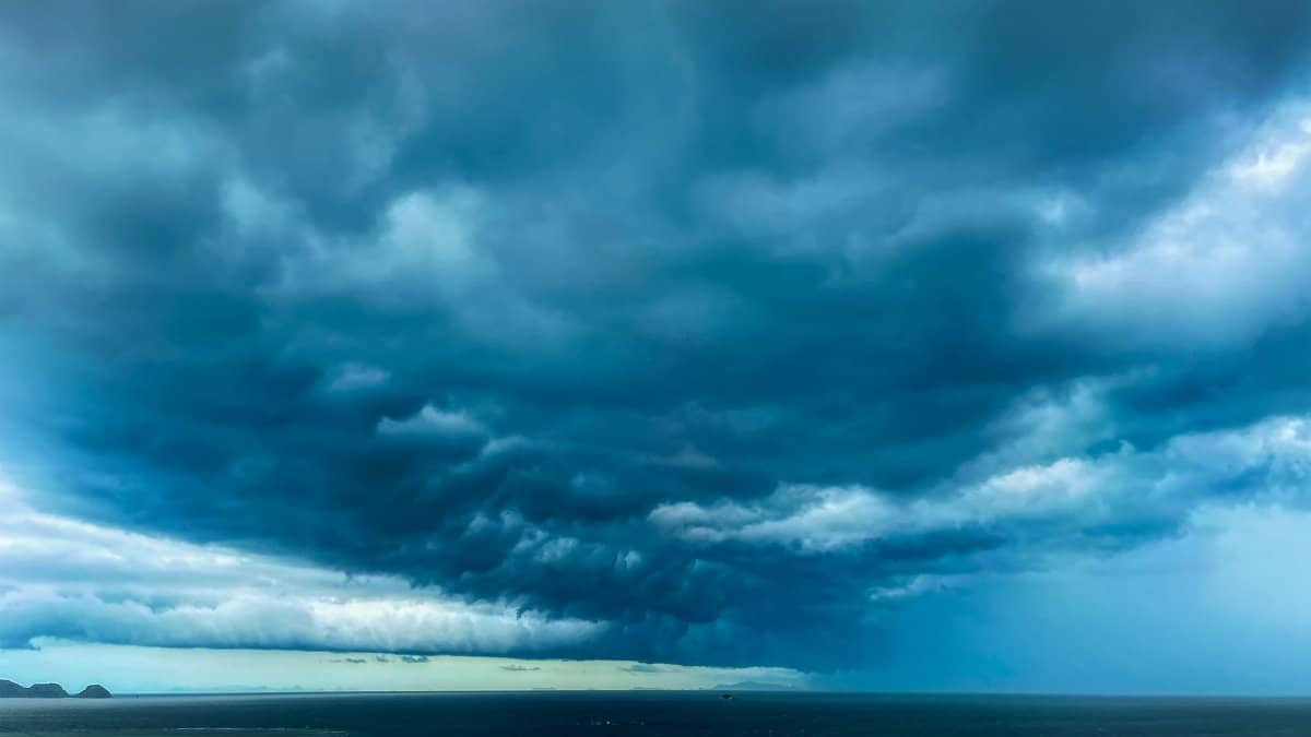
Winter nor’easters carry a folklore of snow and shut schools. A September version can look milder on a headline because the precipitation is rain. Water is not milder. Warm ocean temperatures in early fall can feed a coastal low with abundant moisture. Leaves still on trees raise the odds of wind damage. Tourists and seasonal residents may be less practiced at reading a coastal flood statement than year round neighbors who have seen the same street go under before.
Climate context belongs in the background, not as a slogan pasted on every gust. Heavier downpours are a documented tendency in the Northeast as the atmosphere holds more moisture. That does not mean every weekend storm is a record. It does mean that drainage designed for an older climate fails more often when 4 to 6 inches arrives in a day or two. The practical response is still local: know the tide, know the brook behind the house, and treat the upper end of the forecast as possible rather than decorative.
What remains uncertain as the low organizes

Track, speed, and the exact placement of the heaviest band are the open questions. A faster low means a shorter burst and lower totals. A slower low means training and a higher chance that someone, somewhere in eastern Massachusetts, exceeds 6 inches. Wind uncertainty follows the same logic. A tighter pressure gradient near the coast raises gusts. A broader, weaker low spreads lighter wind over a wider area and may spare the power grid a harder night.
Forecasters will narrow those questions with each new run of the models and with observations from buoys, radar, and surface stations once the rain begins. Until then, the responsible public stance is range, not precision. Plan for the 4 to 6 inch scenario in Greater Boston. Plan for strong coastal gusts from Friday into Sunday. Plan for minor to locally moderate coastal flooding if surge and tide overlap. Then update the plan when the next map says the low has jogged.
A practical way to follow the storm
Check a local forecast in the morning and again in the evening. Read the rainfall map and the wind map, not only one of them. Note the tide times if you live or work near the water. Charge phones and keep a light ready in case a limb finds a line. Move the car off the low street before the band arrives, not when the water is already at the hubcaps. Postpone the ferry if the small craft advisory is up. These steps are ordinary. They are also the difference between a disruptive weekend and a dangerous one.
The storm will be argued over in group texts, with screenshots that freeze a single model run and ignore the next. That habit is understandable and incomplete. Massachusetts noreaster maps earn their keep when they are treated as a sequence, a conversation between the ocean and the forecast office, rather than as a verdict. By Sunday night the colors will have faded from the screen. The rivers, the basements, and the shoreline will still be answering the question the maps only posed.