
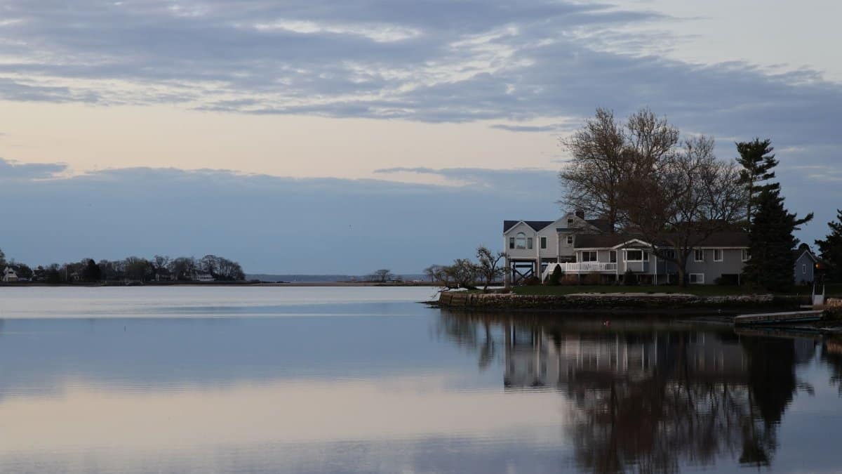
On a Tuesday that felt more like late August than the middle of September, commuters along the harbor left their jackets folded on the passenger seat and walked into a brightness the calendar had already tried to retire. Forecasters have a plain name for that kind of reprieve. A New England second summer is the run of mild days that can return after the first real cool snap, when afternoons climb back toward the seventies and the leaves hold their green a little longer than the almanac suggests. This year the case for that reprieve is cautious rather than loud. The strongest odds for lingering heat still sit inland, across the middle of the continent, while the ocean moderated coast looks more likely to ease into a gentler autumn. A fading El Niño in the Pacific is part of why the story here is milder rather than scorching.
A name that grew out of the porch, not the lab

The phrase did not begin in a climate office. It grew out of kitchens, schoolyards, and town greens, the places where people notice that a sweater put away in a drawer has to come back out, then go away again. Farmers used it for the week when tomatoes kept ripening after a frost scare. Coaches used it for the practice that felt like August even though the stands already held a hint of woodsmoke. The language stuck because it described a feeling as much as a forecast: summer not quite finished, autumn not quite in charge.
That folk sense still matters. A forecast map can show probabilities. It cannot tell a reader whether the extra warmth will feel like a gift or like a delay. In much of the region, the answer depends on whether nights cool enough for sleep and whether the first color in the hills arrives on something like a normal schedule.
What the seasonal maps are actually saying

Seasonal outlooks from the Climate Prediction Center are built on odds, not appointments. They do not promise a date when the thermometer will hit a particular mark. They describe whether a three month stretch is more likely to land above, near, or below the long term average. Read that way, the current picture is uneven. The interior of the country carries higher chances of unusual warmth. New England sits closer to the edge of that signal, where the Atlantic and the Gulf of Maine can blunt a continental heat pattern before it fully arrives.
That distinction is easy to miss in a headline. A milder autumn is not the same thing as a hot one. It can mean fewer hard freezes in October, more days fit for open windows, and storms that arrive as rain rather than as an early mix. It does not require a string of nineties, and it does not cancel the chance of a sharp cold shot between mild spells. Weather still moves in pieces. Climate tilts the table.
Why the coast and the hills do not share one autumn

Anyone who has driven from the shoreline to the Berkshires in the same afternoon knows the region is not one climate. Water holds heat and gives it back slowly. In September and October that storage often keeps coastal nights from falling as far as nights in the interior valleys. A sea breeze can also cap the afternoon high, so a day that feels soft in Portland or Gloucester may feel plainly warm in Springfield or Concord.
Elevation adds another split. A few hundred feet of height can mean an earlier frost on a garden and an earlier turn in the maples. When people talk about a New England second summer, they are often talking about the lower towns and the coast, where the ocean acts as a buffer. The high country can already be in a different season, with fog in the notches and a sharper chill after sunset. A single regional label hides that patchwork, which is why a careful forecast still has to be read town by town.
El Niño and a softer Pacific signal

El Niño is a warming of the central and eastern tropical Pacific, and it rearranges storm tracks far from the water where it forms. In a classic strong event, the southern tier of the United States often turns wetter, while parts of the northern tier lean milder. The present event is not a textbook monster. It is fading, and fading signals are messy. They nudge probabilities. They do not write the weekly weather.
For this region, the useful point is modest. A lingering El Niño influence tends to favor fewer prolonged arctic intrusions early in the cool season, especially if the jet stream stays active and storms track in a way that pulls milder air up the coast. That is a lean, not a lock. A negative phase of the North Atlantic pattern, or a sudden buckle in the jet, can still deliver a cold week that makes the whole discussion feel premature. Forecasters watch those shorter patterns because they decide whether the seasonal tilt shows up in lived days or stays on a map.
Leaves, frost, and the calendar of color

Foliage is the public face of autumn here, and warmth changes its timing in ways that are not simple. Color needs cool nights and shortening days. A stretch of mild, sunny weather can hold green in the canopy, then produce a fast, vivid turn once nights finally drop. Prolonged cloud and rain can mute the show. Drought stress earlier in summer can push some trees to turn early and dull, regardless of what September does.
An extra mild fortnight therefore cuts both ways for leaf watchers. It may delay peak color in the lower elevations and extend the season for travelers who book late. It may also compress the brilliant window if a cold front finally arrives hard. Inns and tour operators plan around averages that no longer feel as steady as they did a generation ago. The honest advice is local: watch the overnight lows, not the poetry of the season alone.
Gardens that get a borrowed fortnight

For people with plots and porch pots, the practical question is frost. A milder pattern often means the first killing freeze slides later, especially within a few miles of open water. Basil survives another Saturday. Kale, already happy in cool air, simply keeps going. That borrowed time is real money for small growers who sell into October markets, and it is real pleasure for anyone who planted late and has been bargaining with the season.
It is also a trap if it is treated as a promise. One clear, calm night after a cold front can still blacken tender plants while the weekly outlook looks gentle overall. Seasoned gardeners in this climate cover what they love and harvest what they can carry. They have learned that a soft month can hide a single hard morning. The second warm spell is a gift with an asterisk the soil remembers even when the forecast sounds kind.
Houses, heat, and the quiet change in bills
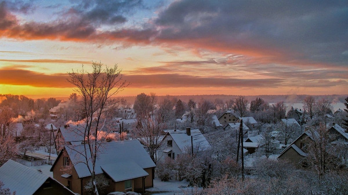
A milder open to autumn shows up in utility data before it shows up in postcards. Heating demand in this part of the country is tightly tied to how cold the nights are and how long the cold lasts. If October runs a few degrees above the thirty year norm, furnaces cycle less, oil tanks drop more slowly, and households that heat with electricity see a softer first bill of the season. That relief is uneven. Renters in poorly sealed buildings still lose heat through old windows. People who rely on delivered fuel still face prices set in markets far from their street.
There is a second side to the ledger. Milder autumns can follow summers that drove cooling costs higher, so the year as a whole may not feel cheaper. And a warm October does not guarantee a gentle January. Energy planners look at the whole heating season, not at one pleasant month. For a household, the sensible reading is narrower: enjoy the lower use while it lasts, and do not budget as if winter has been canceled.
Ritual, rest, and the mood of a delayed turn

Seasons carry meaning that outruns the thermometer, which is why a delayed turn unsettles people who organize their inner year around it. Congregations that mark harvest, gratitude, or the darkening of the days still gather on the same Sundays. School calendars still flip. The light still leaves earlier each evening, even when the air at noon feels like summer. Many readers describe a slight dissonance in that gap, a sense that the body expected wool and got linen instead.
That dissonance is not a crisis. It can be a prompt. Walks that were postponed in August humidity become possible again. Outdoor services, porch meals, and late games on town fields get an unplanned extension. The spiritual grain of the season, if one wants that language, may lie less in forcing an early austerity and more in noticing what the extra light allows: attention, company, a slower close. The weather does not instruct anyone how to feel. It does change the room in which feeling happens.
Cities trying to use the mild days well

Municipal crews read a warm September as a scheduling problem as much as a comfort. Paving windows stay open. Park departments stretch outdoor programs. Harbors keep some seasonal services running if the water and the demand cooperate. At the same time, emergency managers do not stand down. Tropical moisture can still race up the coast in September and early October, and a mild pattern does not mean a quiet one. Heavy rain on ground that has not yet frozen can flood low streets just as readily as a winter storm can.
The planning posture that fits the outlook is therefore double. Use the mild days. Do not mistake them for safety. Cities that treat autumn as a single average miss both the opportunity and the risk. The ones that publish clear, local guidance on heat leftovers, coastal flooding, and the first freeze tend to serve residents better than those that wait for a dramatic headline.
What would make the milder case fail

The lean toward a gentler autumn can fail in ordinary ways. A stronger than expected cool signal from the North Atlantic can pin colder air over eastern Canada and spill it south. A stalled storm track can bring weeks of clouds and raw onshore winds that feel nothing like a second summer, even if the monthly average is not especially cold. Early snow in the mountains would not disprove a mild regional outlook, but it would remind everyone that elevation writes its own rules.
There is also the slow background that no single autumn escapes. The region has warmed, especially in the cold season, relative to the mid twentieth century. That shift raises the baseline on which El Niño and every other pattern operate. A month that would once have counted as notably mild may now count as near normal. Readers comparing this year with childhood memory are not always comparing like with like. Memory is a poor instrument, and it is also the instrument most of us actually use.
How to read the next few weeks without superstition

The useful habit is boring and effective. Check the overnight low, not only the afternoon high. Notice the wind direction: a southwest flow often means the mild air is winning, while a northeast wind off the water can make a warm forecast feel raw. Watch whether cold fronts clear the region or stall nearby. And treat any claim of a locked in month with suspicion. Skill in seasonal outlooks is real and limited. Skill in a seven day forecast is higher, and that is the window in which most decisions actually live.
If the mild pattern holds, the region may still get something worthy of the old name. A New England second summer, in the careful sense, would look like a series of bright afternoons after the first cool mornings, not like a return to July. Picnics return for a weekend. Furnaces wait. The ocean stays swimmable for the stubborn. None of that requires drama. It requires the jet stream to keep the coldest air at bay for a while longer.
A season that arrives in pieces

Autumn here has always arrived in pieces: a cool morning, a warm afternoon, a storm, a clearing, a night when the air finally smells like fallen leaves. The outlook now on the table suggests those pieces may stack a little warmer than a strict reading of the calendar would imply, especially away from the highest terrain, and less extremely than in the hot interior of the country. El Niño supplies a nudge. The Atlantic supplies a brake. Local geography supplies the rest.
That is enough to plan a softer close to the growing season and not enough to promise one. The phrase people already use is still the best short description of the hope. A New England second summer is not a guarantee and not a myth. It is a pattern the region knows, arriving some years in full and some years only as a few afternoons that make everyone put the coat back down. This year, the maps allow it. The days will decide.